Garfield County Images
Garfield County is a county in south central Utah, United States.
The Colorado River, flowing southwestward through a deep gorge, forms the eastern boundary. The Dirty Devil River flows southward through the east end of the county to discharge into Colorado at the county’s border. Westward, the cliffs of tributary canyons give way to the barren stretches of the San Rafael Desert, beyond which a variety of mountains, plateaus, and canyons make up the terrain. Most of Bryce Canyon National Park lies in the southwestern part of the county, and the northern half of the Grand Staircase–Escalante National Monument occupies the middle of the county. A large portion of Capitol Reef National Park lies in the east-central part of the county. A very small part of Canyonlands National Park lies in the northeast corner of the county.
I hope you enjoy viewing my Garfield County photos.
Burr Trail switchbacks, March 2014
Title: Burr Trail switchbacks, March 2014
Location: Burr Trail, Garfield County, Utah
Date: 3/15/2014
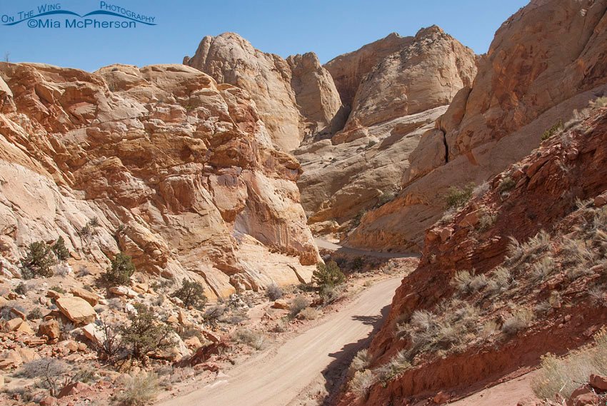
The road to Burr Trail
Title: The road to Burr Trail
Location: Burr Trail, Garfield County, Utah
Date: 3/15/2014
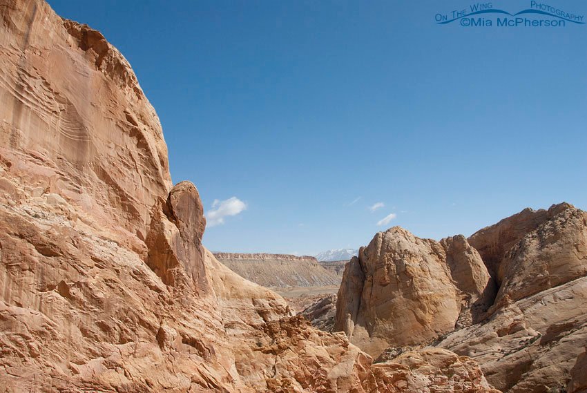
View through the rocks at Burr Trail
Title: View through the rocks at Burr Trail
Location: Burr Trail, Garfield County, Utah
Date: 3/15/2014
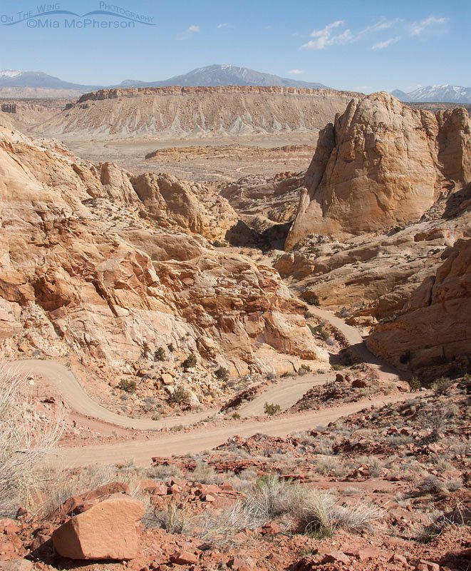
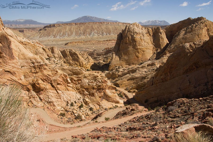
Looking down at all the switchbacks on Burr Trail
Title: Looking down at all the switchbacks on Burr Trail
Location: Burr Trail, Garfield County, Utah
Date: 3/15/2014
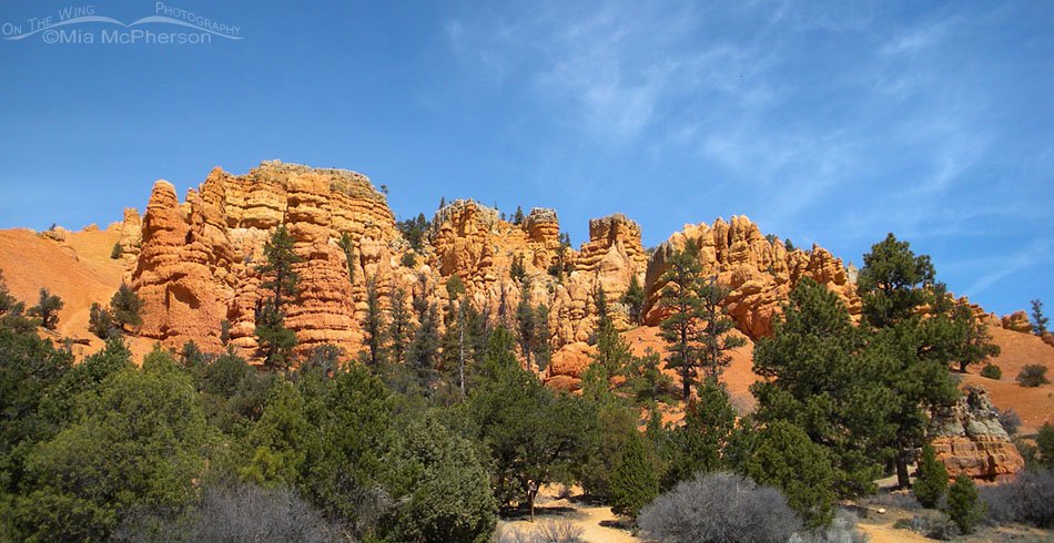
Spring view of Red Canyon
Title: Spring view of Red Canyon
Location: Red Canyon, Dixie National Forest, Garfield County, Utah
Date: 4/15/2010
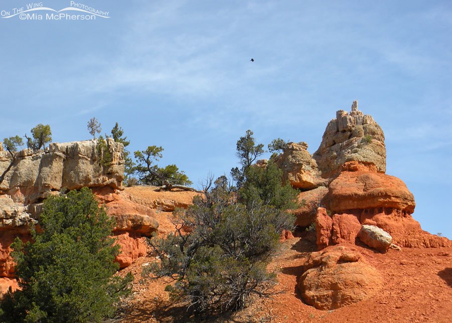
Red Canyon and a raven in flight
Title: Red Canyon and a raven in flight
Location: Red Canyon, Dixie National Forest, Garfield County, Utah
Date: 4/15/2010
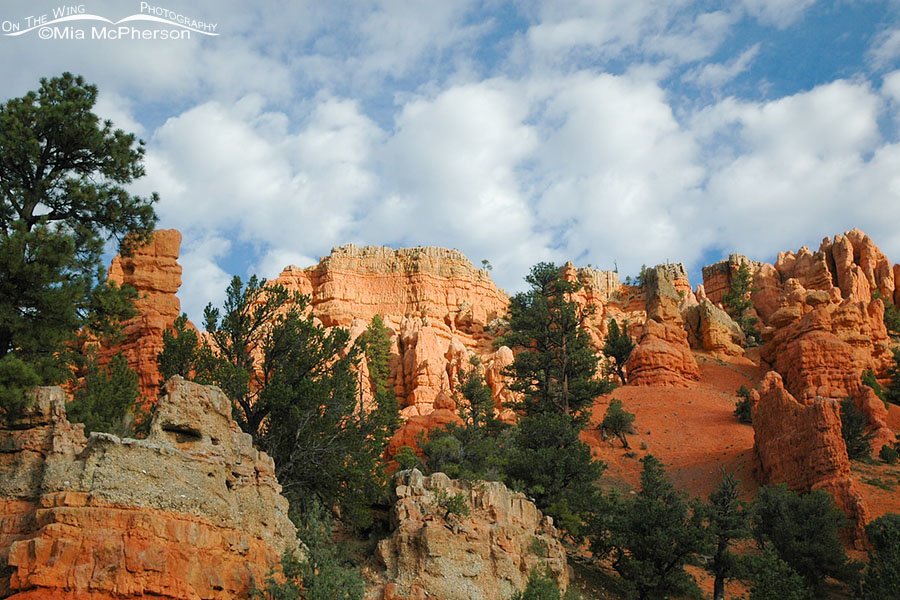
Red Canyon rocks and trees
Title: Red Canyon rocks and trees
Location: Red Canyon, Dixie National Forest, Garfield County, Utah
Date: 4/15/2010
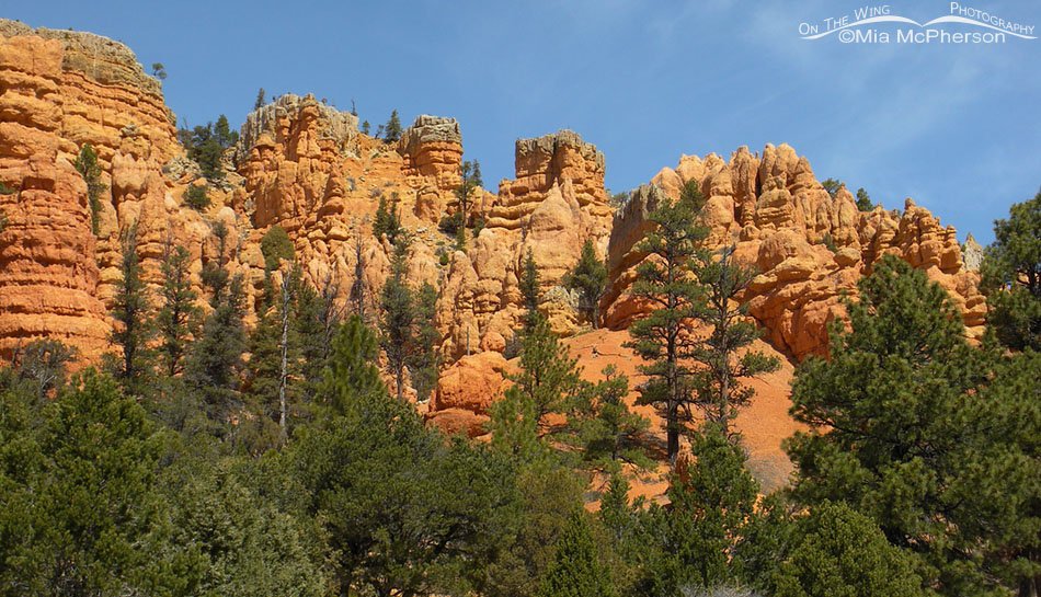
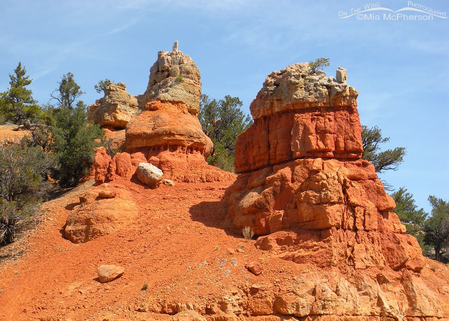
Red Canyon spires, hoodoos and pinnacles
Title: Red Canyon spires, hoodoos and pinnacles
Location: Red Canyon, Dixie National Forest, Garfield County, Utah
Date: 4/15/2010
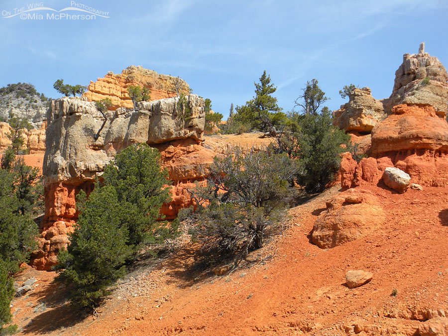
Red Canyon close up
Title: Red Canyon close up
Location: Red Canyon, Dixie National Forest, Garfield County, Utah
Date: 4/15/2010
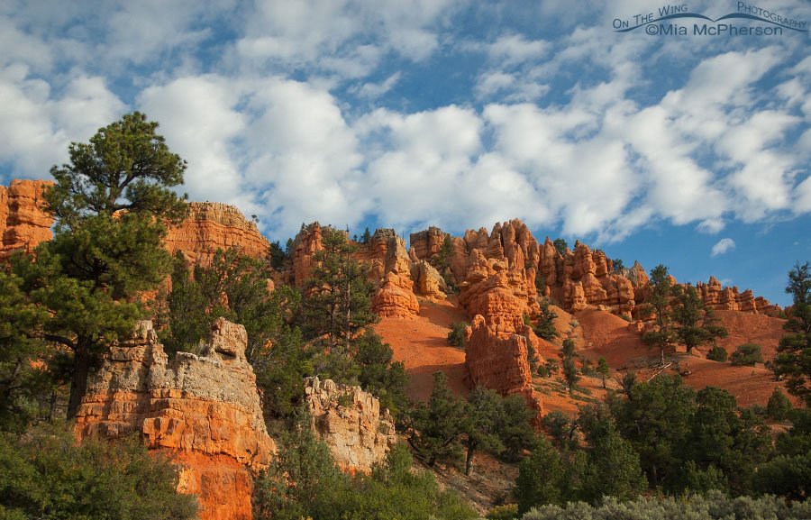
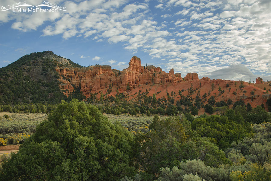
Red Canyon and beautiful clouds at the end of summer
Title: Red Canyon and beautiful clouds at the end of summer
Location: Red Canyon, Dixie National Forest, Garfield County, Utah
Date: 9/15/2007
Red Canyon under a cloudy sky
Title: Red Canyon under a cloudy sky
Location: Red Canyon, Dixie National Forest, Garfield County, Utah
Date: 9/15/2007
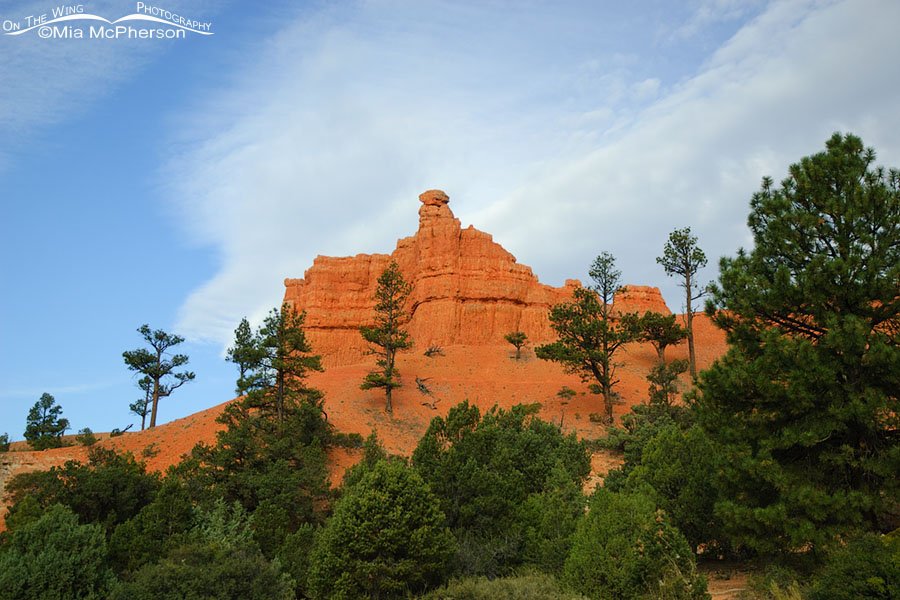
Red Canyon in late summer
Title: Red Canyon in late summer
Location: Red Canyon, Dixie National Forest, Garfield County, Utah
Date: 9/15/2007
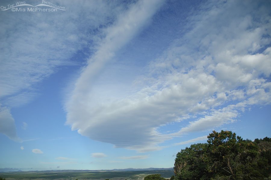
Cloud wave near Red Canyon, Utah
Title: Cloud wave near Red Canyon, Utah
Location: Red Canyon, Dixie National Forest, Garfield County, Utah
Date: 9/15/2007

Red Canyon from a distance
Title: Red Canyon from a distance
Location: Red Canyon, Dixie National Forest, Garfield County, Utah
Date: 9/15/2007