
Mount Nebo Scenic Byway Images and Information:
- Mount Nebo Scenic Byway winds through the majestic Nebo Loop of central Utah, tracing the rugged spine of the Wasatch Range between the towns of Payson and Nephi. Rising to elevations over 9,000 feet, this byway offers sweeping views of alpine forests, high mountain meadows, and deep canyon valleys carved over millennia by snowmelt and time.
- Designated as a National Scenic Byway, the route passes through diverse habitats where mule deer, elk, songbirds, red-tailed hawks, and mountain lions roam among groves of aspen and Ponderosa pine. In spring and summer, wildflowers blanket the slopes in vibrant color, while autumn transforms the landscape into a mosaic of gold and scarlet.
- Mount Nebo, the highest peak in the Wasatch Range at 11,928 feet, stands as a striking landmark that has long drawn travelers, naturalists, and photographers alike. The region’s beauty is matched by its sense of quiet history; Native peoples once journeyed through these highlands following game and seasonal patterns, leaving subtle traces of their presence in the mountain’s shadow.
I hope you enjoy viewing my Mount Nebo Scenic Byway photos.
Mia McPherson
Mount Nebo view in central Utah
Title: Mount Nebo view in central Utah
Location: Mount Nebo Scenic Byway, Juab County or Utah County, Utah
Date: 6/27/2013
Mia McPherson
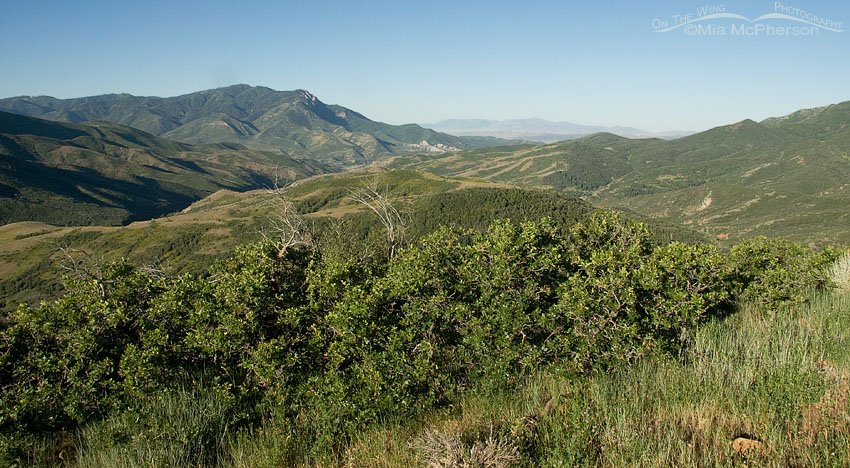
Looking southwest from the Mount Nebo Scenic Byway
Title: Looking southwest from the Mount Nebo Scenic Byway
Location: Mount Nebo Scenic Byway, Juab County or Utah County, Utah
Date: 6/27/2013