
San Juan County Images, Facts and Information:
San Juan County lies at the southeastern corner of the state of Utah. Its borders coincide with the borders of the states of Colorado, New Mexico, and Arizona with Utah. The convergence point of these borders, Four Corners Monument, is located at the extreme southeastern corner of the county.
The county’s terrain generally slopes to the west and the south, with its highest point, Mount Peale, at 12,726 feet (3,879 m) above sea level.
The county’s western and southern boundaries lie deep within gorges carved by the Colorado and San Juan Rivers. Tributary canyons, cutting through rock layers of the surrounding deserts, have carved the land up with chasms, cliffs and plateaus. In the center of the county are Cedar Mesa, Comb Wash, Natural Bridges and Hovenweep National Monuments. Canyonlands National Park lies mostly within the county borders. The Eastern side of Glen Canyon National Recreation Area / Lake Powell is also in the county.
The Blue (Abajo) Mountains and the La Sal Mountains exceed 12,000 feet (3,700 m) in elevation. Both ranges are covered with lush forests, in stark contrast to the scenery below.
I hope you enjoy viewing my San Juan County photos.
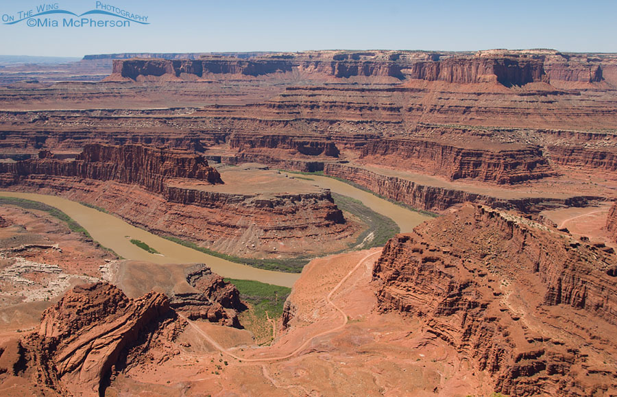
Colorado River from Dead Horse Point State Park viewpoint
Title: Colorado River from Dead Horse Point State Park viewpoint
Location: Dead Horse Point State Park, San Juan County, Utah
Date: 5/4/2011
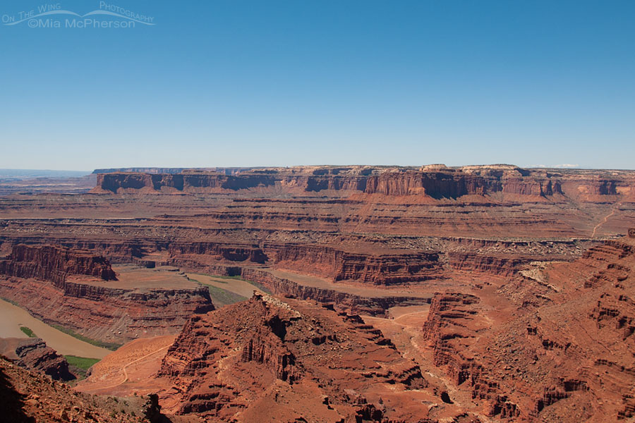
Colorado River view from an overlook at Dead Horse Point State Park
Title: Colorado River view from an overlook at Dead Horse Point State Park
Location: Dead Horse Point State Park, San Juan County, Utah
Date: 5/4/2011
Morning and red rocks at Dead Horse Point State Park
Title: Morning and red rocks at Dead Horse Point State Park
Location: Dead Horse Point State Park, San Juan County, Utah
Date: 5/4/2011
Sunrise on red rocks at Dead Horse Point State Park
Title: Sunrise on red rocks at Dead Horse Point State Park
Location: Dead Horse Point State Park, San Juan County, Utah
Date: 5/4/2011
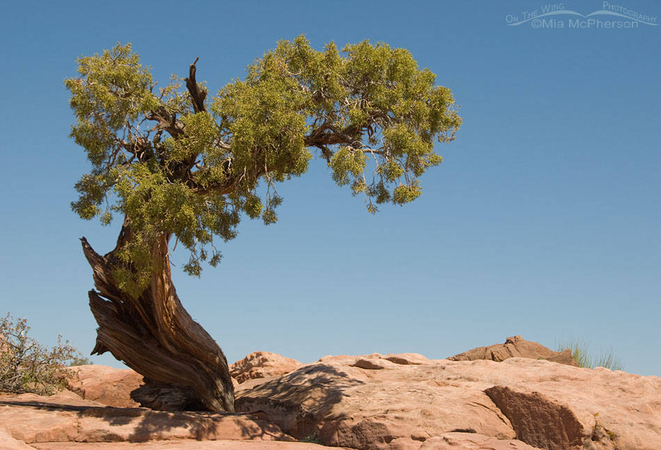
Juniper at Dead Horse Point State Park, Utah
Title: Juniper at Dead Horse Point State Park, Utah
Location: Dead Horse Point State Park, San Juan County, Utah
Date: 5/4/2011
Native
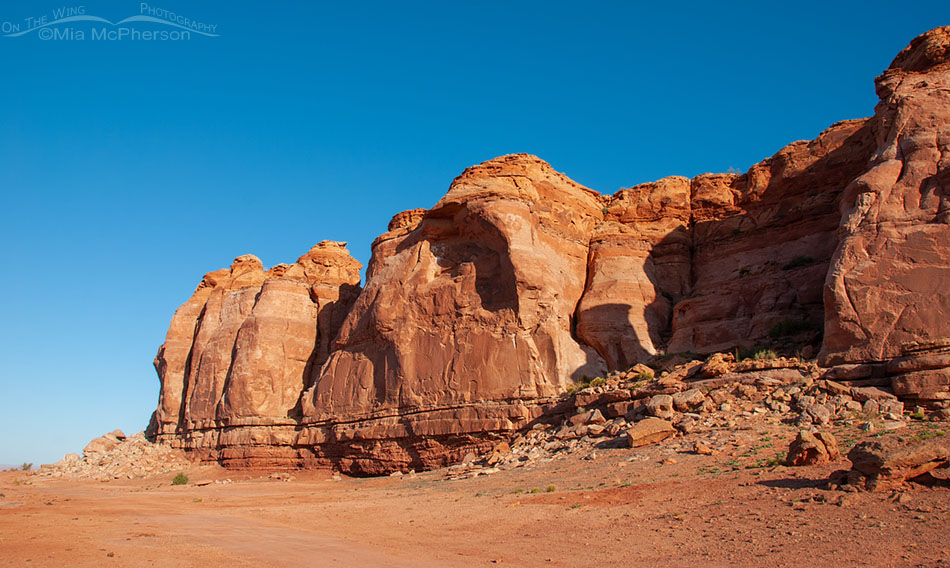
Clear sky and rich red rocks at Dead Horse Point SP
Title: Clear sky and rich red rocks at Dead Horse Point SP
Location: Dead Horse Point State Park, San Juan County, Utah
Date: 5/3/2011
Red rocks and clear sky at Dead Horse Point State Park
Title: Red rocks and clear sky at Dead Horse Point State Park
Location: Dead Horse Point State Park, San Juan County, Utah
Date: 5/3/2011
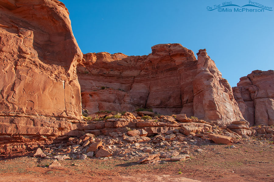
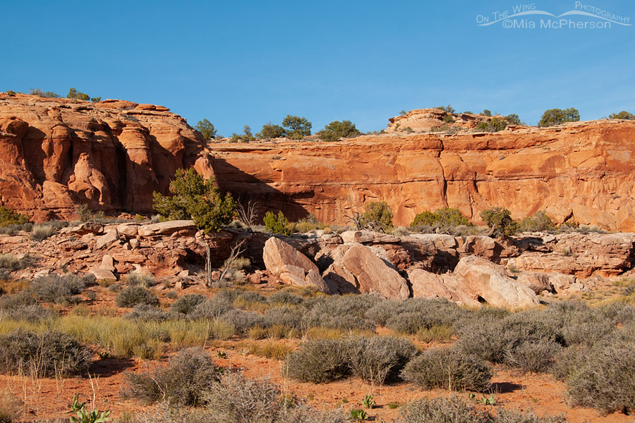
Rocks and more rocks at Dead Horse Point State Park
Title: Rocks and more rocks at Dead Horse Point State Park
Location: Dead Horse Point State Park, San Juan County, Utah
Date: 5/3/2011
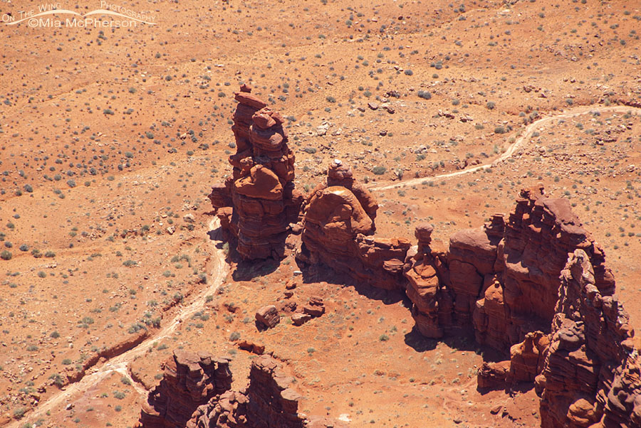
Canyon rock formation from an overlook at Dead Horse Point State Park
Title: Canyon rock formation from an overlook at Dead Horse Point State Park
Location: Dead Horse Point State Park, San Juan County, Utah
Date: 5/3/2011
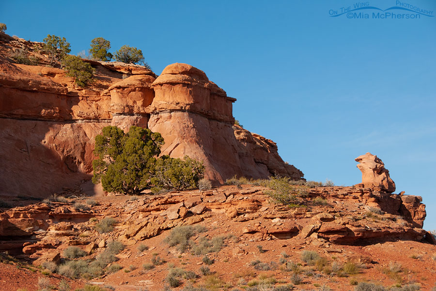
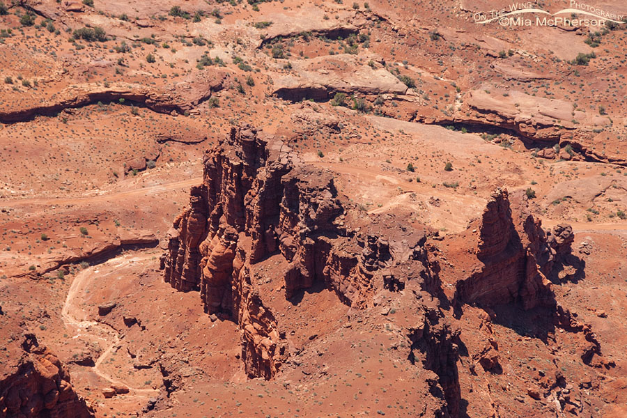
View of hoodoos from a Dead Horse Point State Park overlook
Title: View of hoodoos from a Dead Horse Point State Park overlook
Location: Dead Horse Point State Park, San Juan County, Utah
Date: 5/3/2011
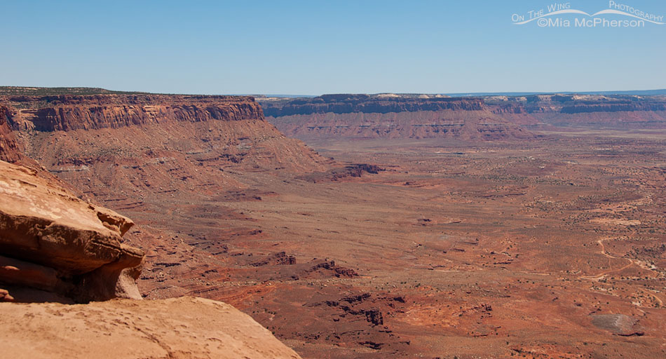
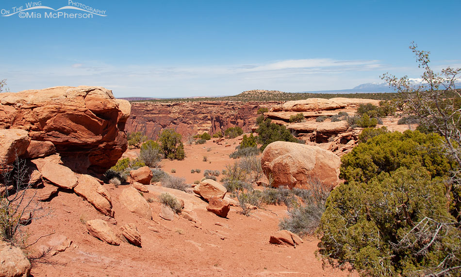
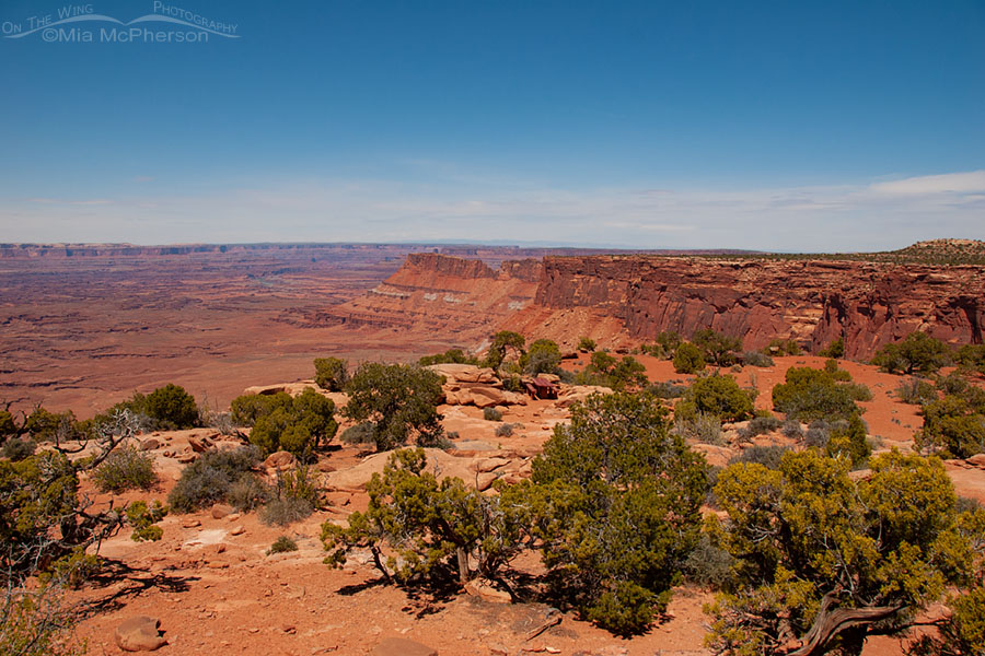
Big view from Dead Horse Point State Park
Title: Big view from Dead Horse Point State Park
Location: Dead Horse Point State Park, San Juan County, Utah
Date: 5/3/2011
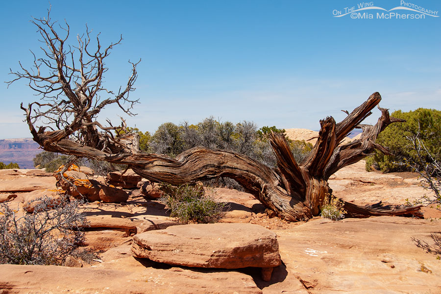
Twisted skeleton of an old juniper at Dead Horse Point State Park
Title: Twisted skeleton of an old juniper at Dead Horse Point State Park
Location: Dead Horse Point State Park, San Juan County, Utah
Date: 5/3/2011
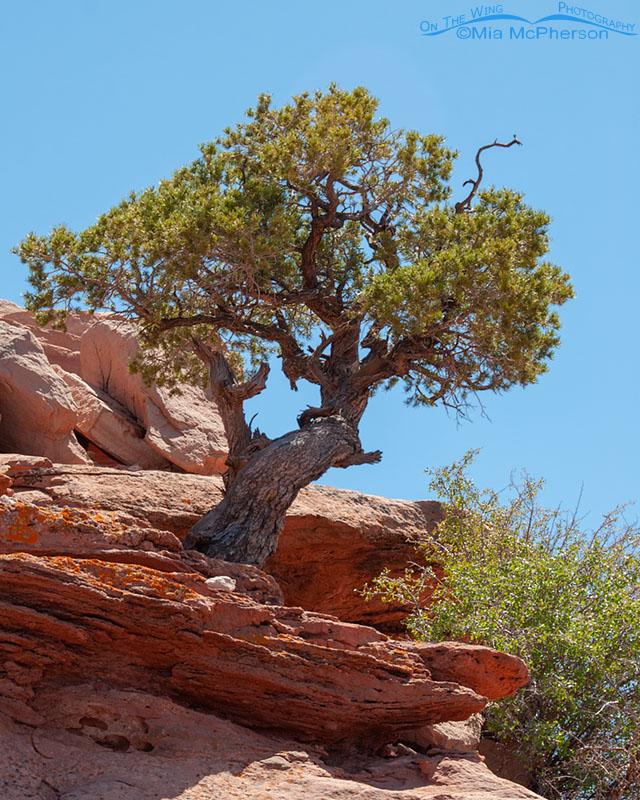
Pinyon Pine at Dead Horse Point State Park
Title: Pinyon Pine at Dead Horse Point State Park
Location: Dead Horse Point State Park, San Juan County, Utah
Date: 5/3/2011
Native
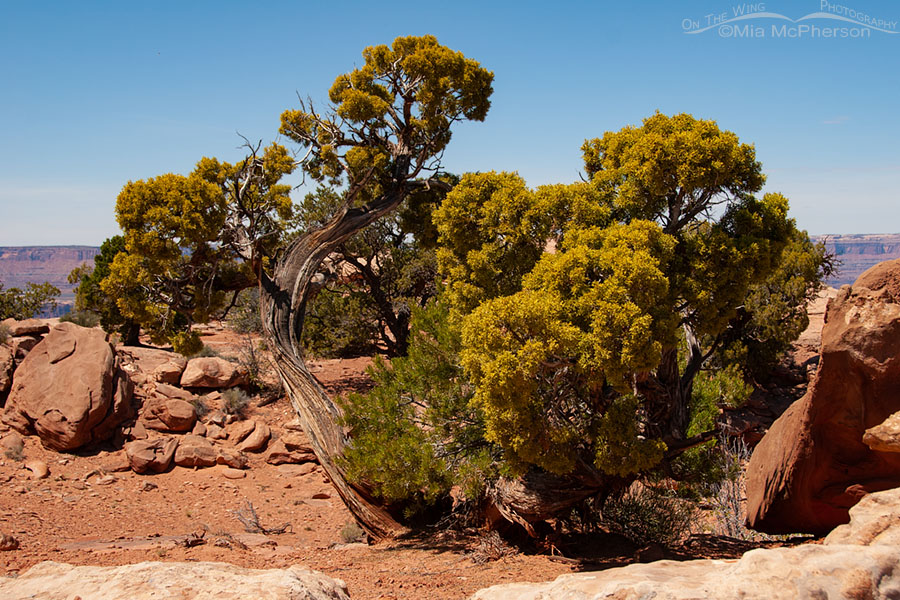
Old junipers at Dead Horse Point State Park
Title: Old junipers at Dead Horse Point State Park
Location: Dead Horse Point State Park, San Juan County, Utah
Date: 5/3/2011
Native
Springtime Dead Horse Point view
Title: Springtime Dead Horse Point view
Location: Dead Horse Point State Park, San Juan County, Utah
Date: 5/3/2011
Spring Dead Horse Point State Park view
Title: Spring Dead Horse Point State Park view
Location: Dead Horse Point State Park, San Juan County, Utah
Date: 5/3/2011